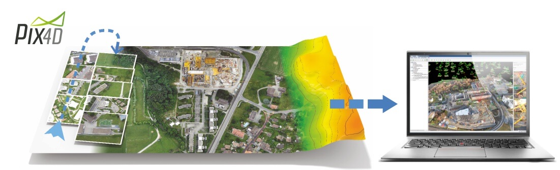
Convert your images into extraordinary Georeferenced 3D Models
Pix4Dmapper - the first automatic Photogrammetric software
Pix4Dmapper
Creates Georeferenced 3D Models from your photos with a click.
Pix4D is the definite solution to convert your both aerial and ground images into orthomosaics, 3D models and point clouds.
Pix4Dmapper free Download ►
Find out about the Complete Solution with Pix4D + DRONE ►
Find out about Pix4Dmapper ►
Analist Group is a Pix4D official Partner.
| Request Information |

Simple to use
The new generation image processing software from the air as from the ground.
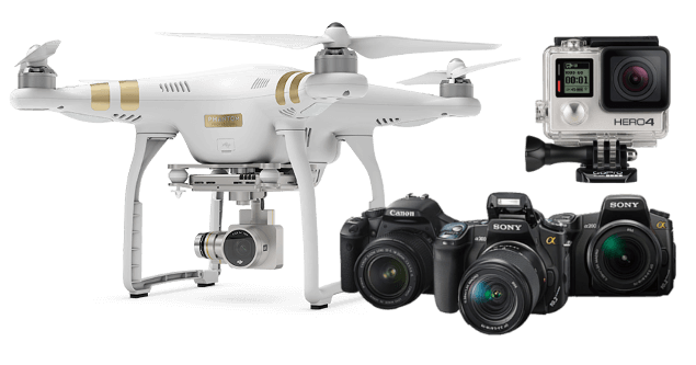
It supports any camera and any lens
With Pix4Dmapper you can use any camera with any lens and you can take photos from any angle.
Pix4Dmapper includes the Profiles and the lenses of the most commun cameras and it also supports photos with Geotags and GCP to obtain a perfectly georeferenced 3D Model.
Pix4Dmapper FREE Download ►
Learn about the Complete Solution with Pix4Dmapper + DRONE ►
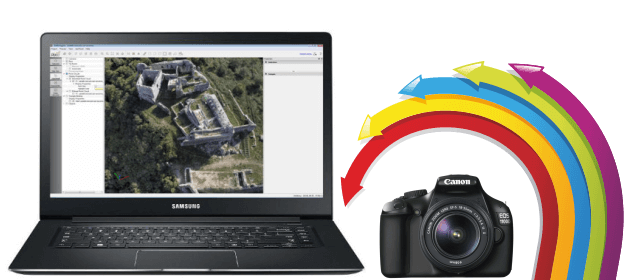
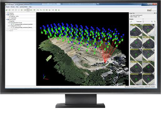
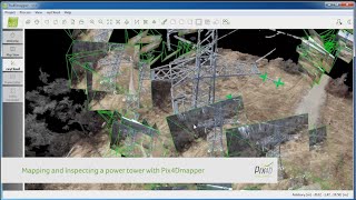
RayCloud Technology
The exclusive Pix4Dmapper RayCloud technology combines the points of the 3D cloud with the original images, dramatically improving the project quality and enabling you to visualize the position of the points on the images.
3D Models with one click
Centimeter accuracy.
Create a new project and click on processing button. It's as simple as that.
If your photos have GPS coordinates, your 3D model will be automatically georeferenced and in scale.
Pix4Dmapper FREE Download ►
Learn about the Complete Solution with Pix4Dmapper + DRONE ►
How to Georeference a survey with the Analist Group Solution ►
The most powerful integrated Tools
Absolute control of your project.
Pix4Dmapper includes a rayCloud editor which allows you to visualize, georeference and improve the quality and the accuracy of your data.
The Mosaic editor allows you to achieve splendid maps and improve the quality of the automatically generated orthomosaic.
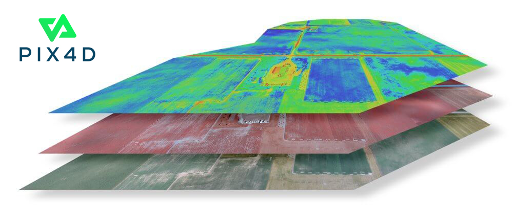
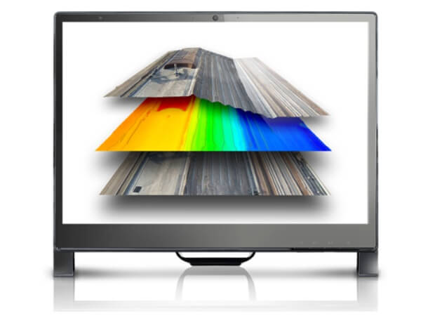
The Index Calculator allows you to create and customize the index maps with radiometric accuracy. The maps can be in NDVI.
Pix4Dmapper FREE Download ►
Learn about the Multi-spectral DRONE ►
Learn about the Complete Solution with Pix4Dmapper + DRONE ►
Automatic classification and new processing options
New and powerful processing options in combination with the user-friendly interface.
Export your projects
Choose a variety of supported formats for your projects among: georeferenced orthomosaics, DSM, DTM point clouds, CAD models and index maps. You'll be able to use your pojects in a wide range of softwares from GIS, CAD and photogrammetry.
Besides, you will be able to achieve extraordinary videos of your projects with just a few clicks.
Pix4Dmapper FREE download ►
How to georeference your Survey with the Analist Group Solution ►
Analist Cloud
Innovative Technology for Land Surveyors.
Analist Cloud is the new Analist Group Solution for Land Surveying, for Architectural Surveys, Agricultre, Thermography, Advertising and Entertainment. The Solution inlcudes a DRONE + Pix4Dmapper + Analist Cloud Software.
Learn about the Complete Solution with Pix4Dmapper + DRONE ►
Pix4Dmapper FREE Download ►
How to Georeference a Land Survey with the Analist Group Solution ►
Pix4d Educational
Special discount for schools, training and research centres.
In order for schools, training and research centres to access the software more promptly , Pix4Dmapper is available at an extraordinaary price.
Pix4Dmapper FREE Download ►
Request information ►
Pix4Dmapper Strengths
3D Models with centimetre accuracy
LiDAR aerial Surveys with centimetre accuracy from compact cameras to digital reflexes.
Scalable and editable 3D Models
Pix4Dmapper allows you to scale and edit your projects with uique and pofessionals tools.
Intuitive and easy to use
Training is not necessary, processing with Pix4D is simple and completely automatic.
Integrated Solution
Pix4Dmapper includes all indispensible tools to process your project data without using any other external software.
Innovative Technology
Pix4Dmapper provides you with the most innovative and groeund-breaking photogrammetric technology.
Supportfor your projects
Our experts will give you all the support you require during all the fases of your project.
Resources
Pix4Dmapper.


Related Solutions
You could also be interested in...
Complete DRONE Solution for Land Surveying
Complete DRONE Solution for Thermography
Complete DRONE Solution for Precision Farming
Request Information
Fill out the form below to request further information.