Drone-based Topographic Survey
Fly, generate Point Clouds, and perform your Topographic operations with Analist.
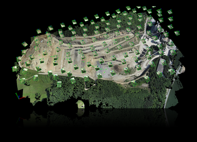
Capture images with a drone, generate the Point Cloud with Pix4Dmapper, the world's first Automatic Photogrammetry Software, and import it into Analist CLOUD to perform topographic operations in a CAD environment.
A topographic survey of maximum precision
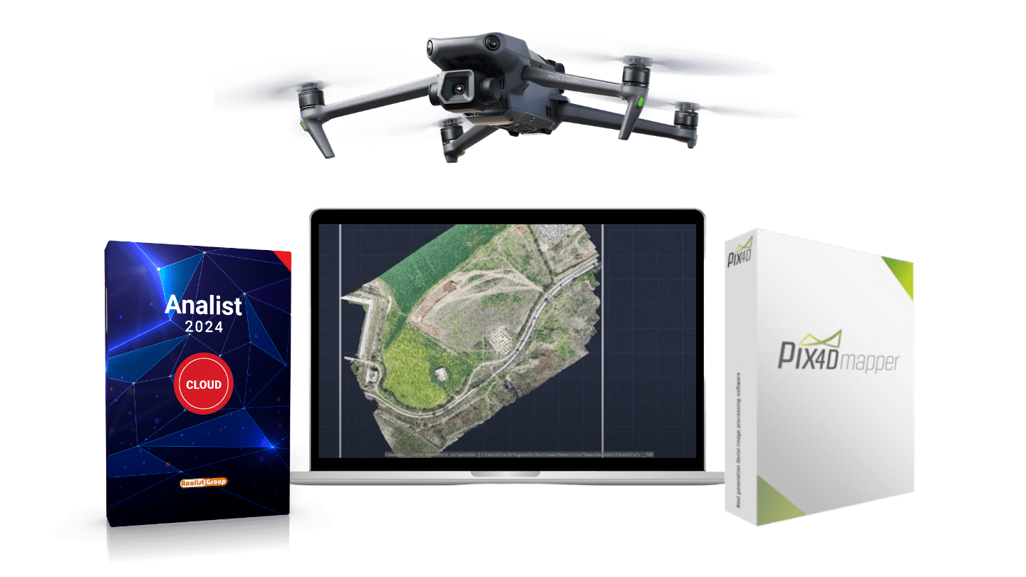
The world's first photogrammetry software designed for professional drone surveys. Pix4Dmapper is the ultimate solution for converting your images into orthomosaics, 3D models, and detailed point clouds. It allows you to process thermal images and multispectral sensor data for index calculations.
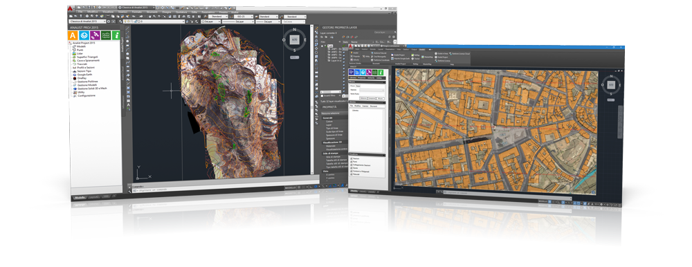
The top-tier Land Surveying Software.
It is the ideal solution for surveyors seeking the highest quality and speed in the execution of their work. It delivers Profiles, Cross-Sections, Contour Lines, Orthophotos with certified quality and impeccable graphic definition. It reads all data collected with Total Station and Topographic GPS, processes and manages Point Clouds.
DJI Mavic 3, Analist, and Pix4Dmapper.
A Topographic Survey Dream.
DJI Mavic 3 is ideal for Topography. Captures extraordinary images with the Hasselblad camera and flies smoothly thanks to omnidirectional obstacle detection.