Professional Thermographic Survey with Drone
With Analist InfraPRO, generate detailed Thermal Reports and Analyses.
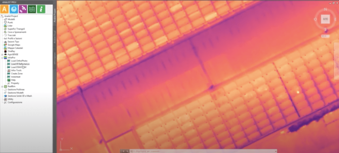
Analist offers you an integrated workflow for your Thermographic Analyses. Capture images with Drone and import them into Analist CLOUD. With the InfraPRO module, you can process detailed reports of the critical areas, along with their respective temperatures. It is ideal for thermal inspection of Photovoltaic Panels.
Process data with Pix4Dmapper
3D models, Point Clouds, and Orthophotos in a flash
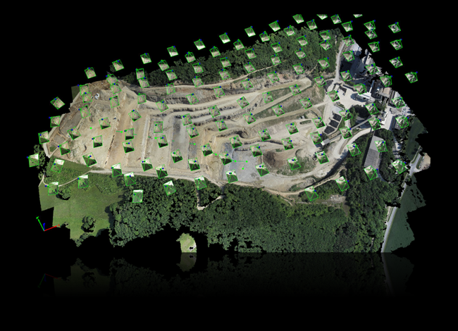
Pix4Dmapper, the most powerful Photogrammetry software, transforms captured images into digital spatial models and produces high-quality Point Clouds. It excels in thermographic surveys as well: Pix4Dmapper generates precise thermal orthophotos usable for any type of project.
Analist can do it all.
The most sought-after software for Topographic and Thermographic Surveys.
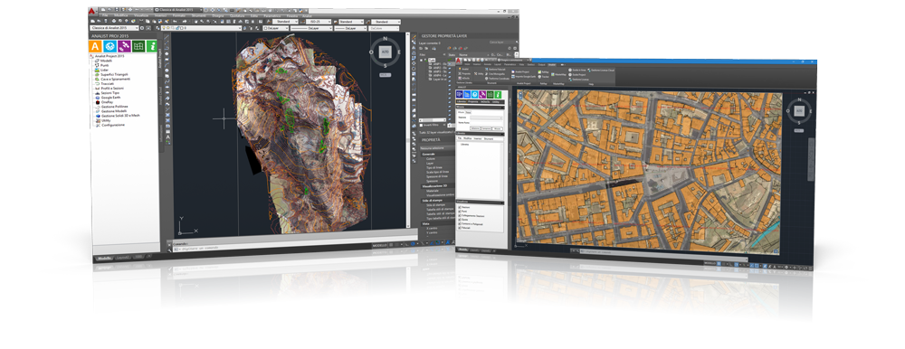
Analist CLOUD, based on Autodesk technology, allows for measurements, volume calculations, and the plotting of profiles and sections. With InfraPRO, the module for Thermography, you can generate detailed Thermal Reports and Analyses for drone orthophotos, highlighting critical areas.
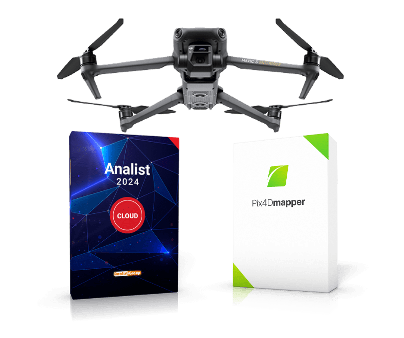
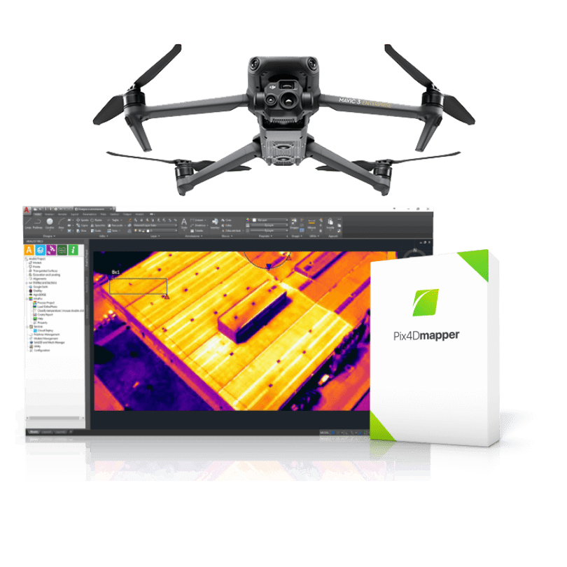
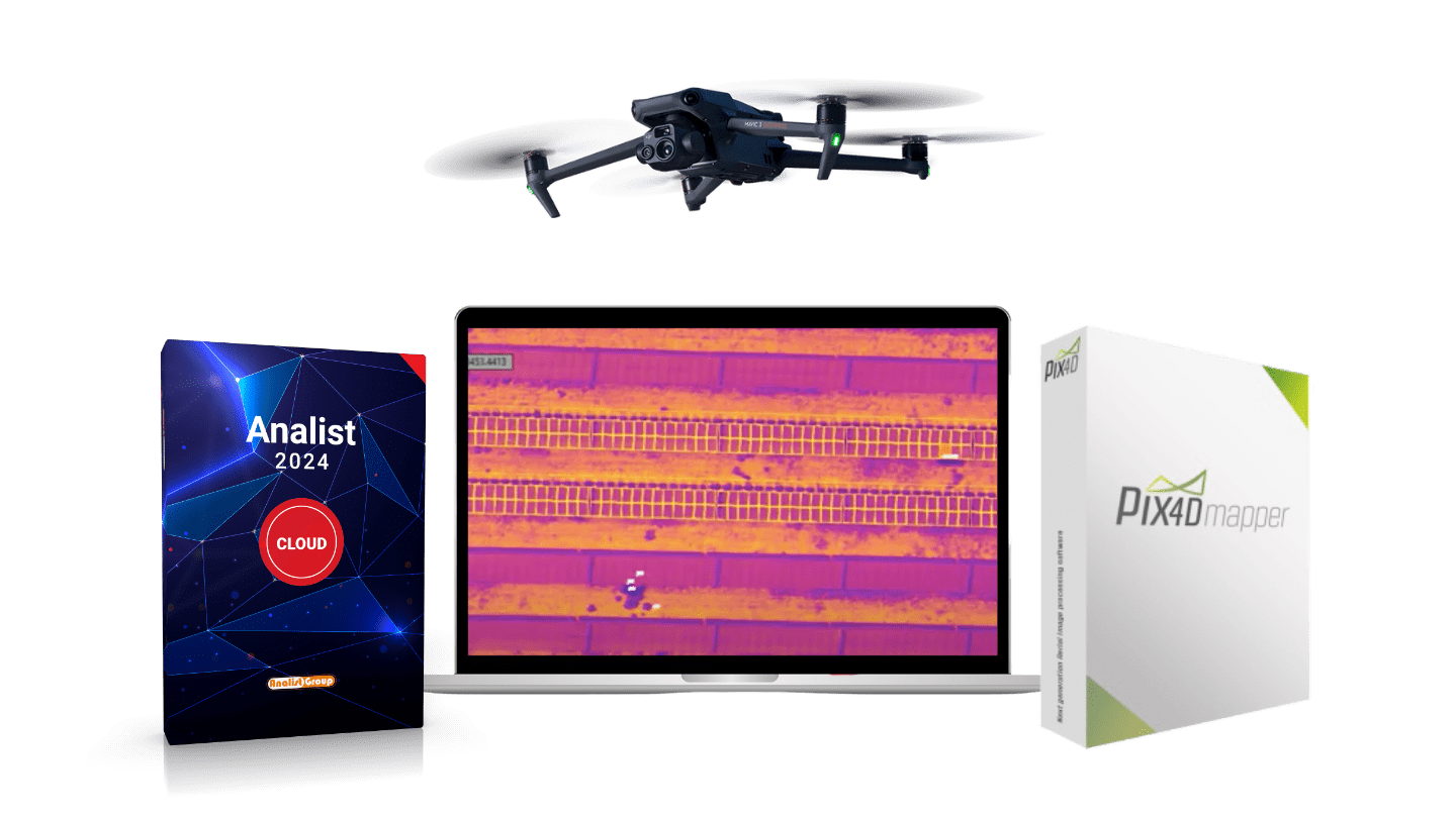
DJI Mavic 3T, Analist, InfraPRO and Pix4Dmapper.
Discover the best Solution for Thermography
The DJI Mavic 3T's thermal camera supports the measurement of temperature points and areas, high-temperature alerts, color palettes, and isotherms. The 14x zoom allows for simultaneous split-screen comparison to quickly make any type of decision.