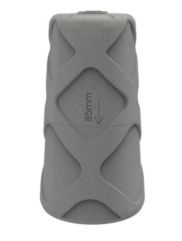
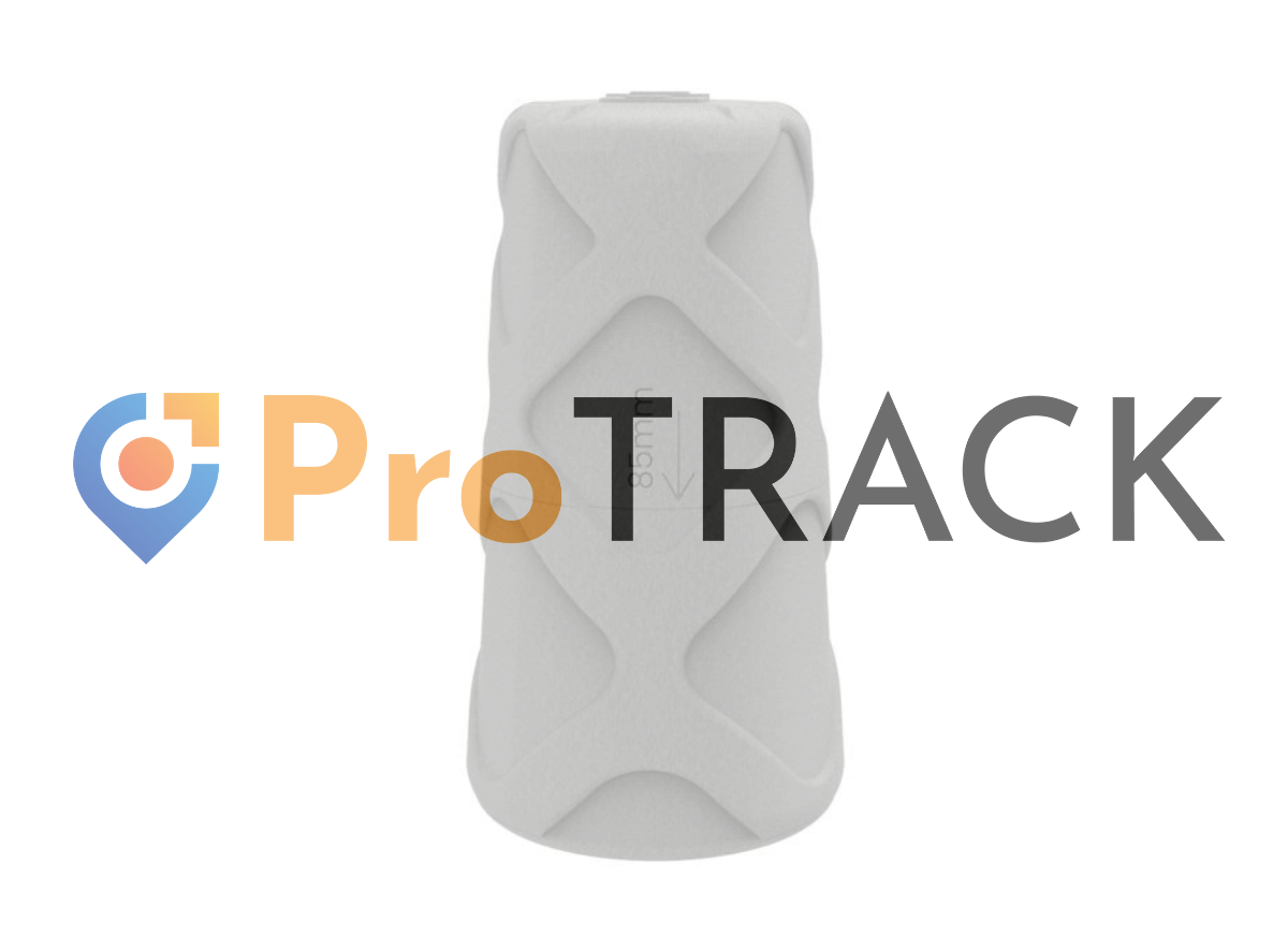
GPS ProTrack with Analist
Usability, Accuracy, and Speed at Your Service.
From € 1.950,00 + VAT.
The GNSS ProTrack Rover adds precision and ease of use to your fieldwork.
ProTrack is entirely Made by Analist Group. Developed to excel in every application, the instrument ensures energy efficiency and a secure connection to NTRIP, ITALPos, and regional networks.
Easy to use. Powerful in performance.
ProTrack generates virtual points from those captured in the field, enabling simple, effective, and productive modeling. The provided leveling functions are straightforward and intuitive, making your work easier and enhancing your productivity.
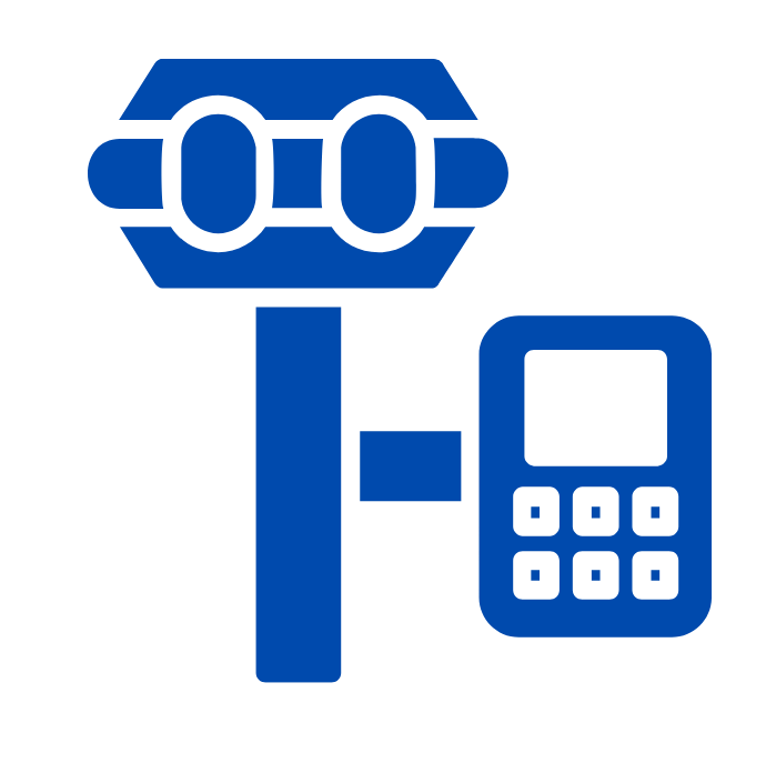
GNSS RTK Module
ProTrack supports RTK technology to provide real-time centimeter-level positioning. By utilizing differential corrections from GNSS reference stations, the module enables extremely accurate positioning.
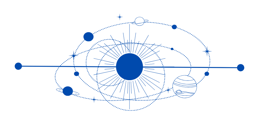
Multi-Constellation GNSS Support
The module is compatible with the most widespread and commonly used constellations. This ensures better satellite coverage and guarantees accuracy even during surveys in critical situations and environments.
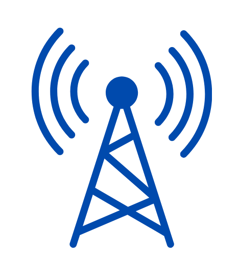
Multi-Band Integrated Antenna
The integrated GNSS antenna provides exceptional reception and enables the receiver to process signals from various satellite constellations, such as GPS, GLONASS, Galileo, BeiDou, and QZSS, for highly precise positioning.
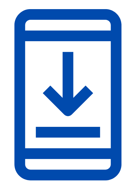
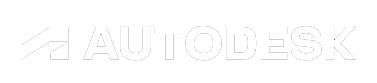
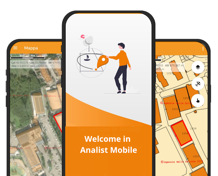
Analist Mobile App
The Analist Mobile Application simplifies instrument management, particularly during field survey and point tracking phases. It has surpassed the complexity of options with a fully automated workflow.
Designed to provide professionals with an easy-to-use tool that ensures accurate positioning. It is ideal for sectors where precision is paramount, such as surveying, cartography, precision agriculture, cadastral surveying, and industrial automation.
Easy to use, it offers intuitive features. Analist Mobile allows you to organize projects, load cadastral maps in real-time, perform sampling, and ensures reliability even in limited connectivity conditions.
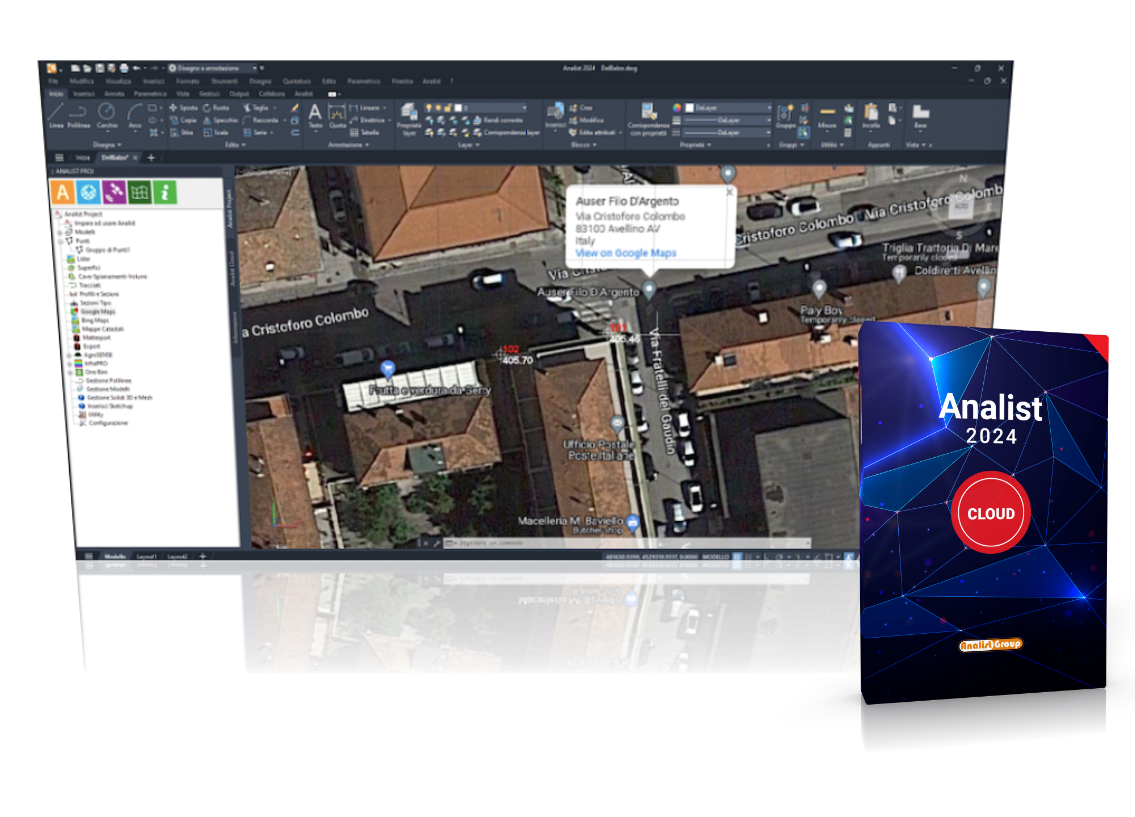
Surveying Software, powered with Autodesk Technology, introduces new features dedicated to ProTrack: it ensures an exceptional level of precision by combining data obtained from the app and that collected by the GPS. For top-quality projects.